How Service Robots Navigate: SLAM, Sensor Fusion, and the AI Stack Behind Autonomous Movement
At a glance: A service robot must localize within 5 cm, at 10–30 Hz, across corridors and elevators — that is the SLAM problem. This guide breaks down LiDAR, depth cameras, odometry and the two-tier planner.
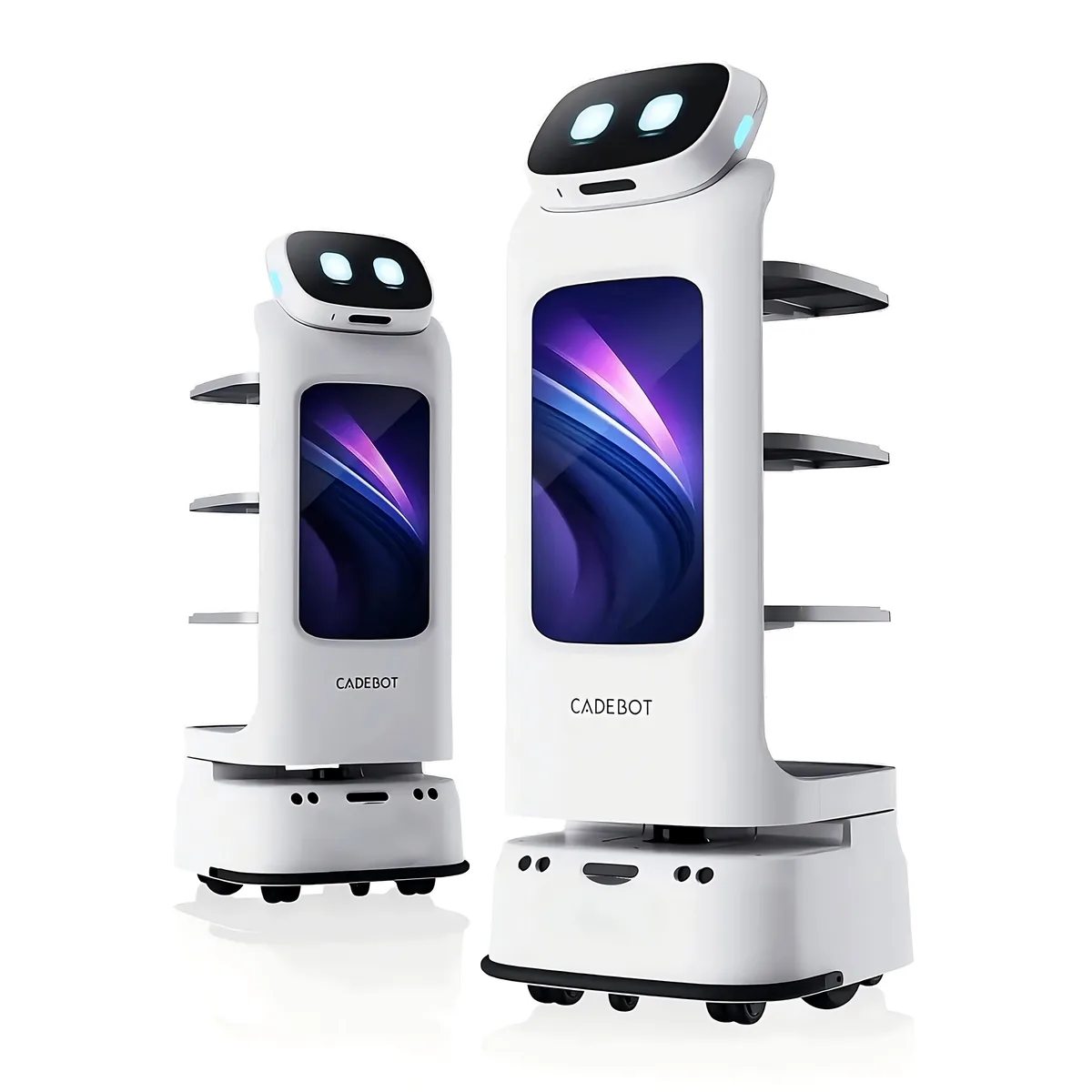
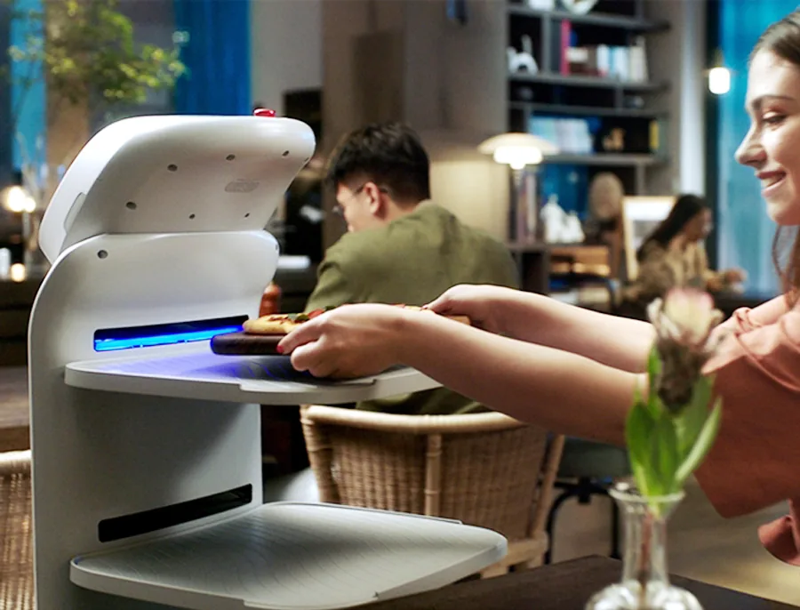
When a delivery robot glides through a hotel lobby, dodges a suitcase, waits for an elevator, and arrives precisely at room 1217 — it is executing one of the hardest problems in robotics: autonomous navigation in an unstructured, human-populated environment.
The engineering behind this seemingly simple behavior draws on decades of research in simultaneous localization and mapping (SLAM), sensor fusion, path planning, and edge AI. Here is what is inside the stack — and what buyers should test before they sign.
The Core Problem: Where Am I, and Where Is Everything Else?
Autonomous navigation boils down to three questions, asked continuously at 10–30 Hz:
- Localization — where am I right now, within an error margin of a few centimeters?
- Mapping — what does the environment look like, including obstacles I have never seen before?
- Planning — what is the safest, most efficient path to my destination?
These problems are interdependent: you cannot localize without a map, and you cannot build a map without accurate localization. SLAM solves both simultaneously. When a robot loses track in a long, featureless corridor, it stops, backtracks, and tries again — the behavior buyers see as "the robot looks confused." Ask about it during the demo.
The Sensor Suite: More Than Just Cameras
LiDAR (Light Detection and Ranging)
The primary navigation sensor on most service robots: a 360° scanning laser with typical indoor ranges of 25–40 m, angular resolution of 0.1°–0.3°, update rates around 10–15 Hz, and ±2–3 cm accuracy at 10 m. LiDAR excels at geometric mapping — walls, doors, furniture — but struggles with transparent surfaces and featureless corridors. That is why sensor placement matters: the AOMAN D1 is engineered for 70 cm corridors, exactly the narrow-space regime where scan coverage and mounting height decide success.
Depth cameras (RGB-D)
Stereo or time-of-flight depth cameras complement LiDAR by capturing visual features — textures, patterns, signage — essential for place recognition and loop closure, plus short-range depth (0.3–5 m at millimeter precision) for obstacle detection, and object classification of people, luggage, and carts. Most service robots carry 2–4 depth cameras for 360° short-range coverage.
Ultrasonic and infrared
Low-cost proximity sensors fill the gaps LiDAR and cameras miss: ultrasonic reflects off the glass surfaces LiDAR passes through, infrared detects stairs and ledges, and both catch low-profile objects below scan height — pets, cables, low furniture.
IMU (Inertial Measurement Unit)
A 9-axis IMU (accelerometer, gyroscope, magnetometer) bridges the 50–100 ms gaps between LiDAR frames with odometry, senses vertical movement to confirm elevator floor changes, and detects bumps that visual sensors might miss.
SLAM: The Mathematical Core
Graph-based SLAM
Most commercial service robots use graph-based SLAM, which frames the robot's trajectory and observed landmarks as an optimization problem: robot poses at different timestamps are nodes; spatial constraints between poses — derived from odometry and loop closures — are edges; and an optimizer (commonly Levenberg-Marquardt or Gauss-Newton methods) minimizes the accumulated error. The breakthrough that made it practical: the constraint matrix is sparse, so complexity stays tractable as the map grows.
Visual SLAM (vSLAM)
Camera-only variants track visual features across frames at lower sensor cost, with weaknesses under changing light and in feature-poor environments. Commercial designs are usually hybrid: LiDAR for geometric mapping, visual features for place recognition and loop closure.
Path Planning: From Global to Local
Global planning (the route)
A global planner computes the optimal route across the full map with algorithms like A* or Dijkstra on a costmap — a grid in which each cell carries a traversal cost, with dynamic obstacles added as high-cost regions in real time.
Local planning (the execution)
The local planner executes in 1–3 second windows and handles the hard part: velocity-obstacle rerouting around moving people, social-navigation defaults (passing distances of roughly 50–80 cm, yielding to pedestrians in narrow corridors), and smooth trajectories that minimize jerk — important when the payload is a tray of food. This is why the navigation stack affects guest experience, not just collision avoidance.
Edge AI: Running the Stack On-Board
All of the above — fusion, SLAM, planning — runs on an edge compute module inside the robot: inference in the tens-of-TOPS range, 15–30 W for compute with 60–120 W total platform draw including motors and sensors, and an end-to-end budget under 100 ms from sensor input to motor command. Cloud connectivity handles fleet coordination, remote monitoring, and map sharing — but navigation decisions remain local. A robot that needs an internet connection to avoid a pedestrian is not robust enough for deployment.
Mapping, Multi-Floor, and Elevator Integration
For multi-floor operation the robot must ride elevators reliably, and feasibility depends on the building's control protocol. The requirements: a floor map per level, a recognized elevator call workflow at peak traffic, and a fallback when a lift is offline. Buildings with strict access control also need the robot to pass doors and turnstiles without a badge. Ask for a compatibility assessment with your specific elevator vendor before finalizing the fleet plan — it is a standard part of AOMAN FUTURE site surveys.
From Map to Mission: Site Survey and Demo-Day Tests
All the theory above resolves into one practical question: can this robot run your building? The answer needs evidence, not architecture slides. A good demo-day protocol covers the four conditions your staff will eventually live with:
The 30-minute mapping walkthrough. The robot should map a new floor with a single staff walkthrough — one lap of the perimeter plus the covered corridors — in under 30 minutes. Then ask how the map stays honest when the furniture moves, and who on your side is authorized to update it. Facilities that re-decorate seasonally and restructure layouts at tenant changeovers need maps that change with them.
Multi-floor trains. Test elevator rides in volume — a sample of 50 trips is a reasonable bar — including a peak-hour wait and a service lift serving only specific floors. Ask what the robot does when the elevator arrives but the door sensor times out.
The hard edges. Glass walls and atriums, featureless corridors, blind corners where people emerge suddenly, and floor transitions — carpet to tile, ramps, door thresholds. Film the runs. Six months later, when a "navigation issue" is reported, that demo footage is the reference for what passed.
People traffic. Schedule 30 minutes during your busiest window. The robot should not stop and wait for a clear path; it should re-plan around walkers, yield at blind corners, and signal before reversing toward someone.
If a vendor will not run the full protocol, that is the same signal as a supplier who refuses a redacted risk assessment: the capability is not ready to demonstrate.
Maps, Construction, and Constant Change
A navigation stack ships with a map; operations keep the map honest. Plan for three operational realities from day one: event zones (banquet setup, holiday decor, temporary kiosks need closed-zone tooling in the fleet software), construction corridors (hoarding and temporary walls are the top cause of map drift in the first year), and service rooms (a door left open that was never in the survey). Ask what the fleet tools support for closing a zone and re-surveying a single corridor — and how long that takes.
Also check the people side: robots that record through depth cameras carry data-handling obligations in EU and healthcare settings. The compliance package should state what is captured, how long it is retained, and where footage is stored — the same questions your own camera system gets asked.
What This Means for Buyers
Navigation capability should be a primary criterion, not an afterthought. Questions to ask every vendor:
- Which sensors does the robot use? Multi-sensor fusion — LiDAR plus depth cameras plus ultrasonic — is the standard; single-sensor designs have known failure modes.
- How long does mapping take? A new floor mapped in under 30 minutes with a single walkthrough is the practical bar.
- How does it handle glass walls and atriums? The number-one failure mode for LiDAR-only systems; there should be ultrasonic- or camera-based glass detection.
- What is the recovery behavior? When a robot gets confused — and all robots do occasionally — does it stop safely and call for help, or guess and risk a collision?
- What is the tightest corridor it accepts? The AOMAN D1 is built for 70 cm passages, the AOMAN C1 for 85 cm aisles, and the compact AOMAN C2 Pro clears both 85 cm aisles and 70 cm of under-desk space — ask for the spec that matches your tightest hall.
- How does it interact while moving? The AOMAN G1 guidance robot joins SLAM navigation with a 15-DoF upper body and 6 microphones at 5 m pickup, so it can answer visitors while it moves — a different navigation problem from transport, but the same localization core.
The navigation stack is the single largest engineering investment in a service robot — more than the chassis, more than the battery, more than the interface. It is what separates robots that work reliably in production from robots that work in demos: in a publicly documented deployment at an art museum in Osaka, Japan, a G1 guidance unit navigates a visitor-heavy gallery day in and day out, and the lesson generalizes — navigation robustness is decided by the sensor stack and the mapping workflow, not the brochure.
AOMAN FUTURE robots run a multi-sensor SLAM stack — LiDAR, stereo depth, ultrasonic, and 9-axis IMU fusion — on an on-board edge module that keeps all navigation decisions local. The full architecture is documented on our SLAM navigation page, and the product lineup covers delivery, cleaning, and guidance platforms.
Contact us for a technical deep-dive or an on-site navigation demonstration — tell us your floor plan and your hardest space, and we will run it there.